
Old maps from the archive
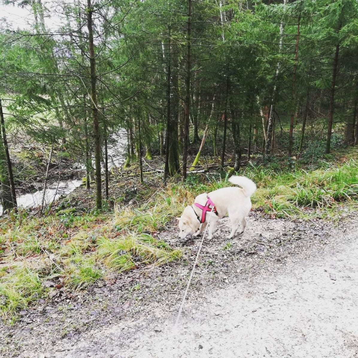
Here on Partagua, it’s Canal Day, and so we’re happily relaxing into a long weekend. Today I woke up late, rolled out of bed and walked my Hokkaido, Ralph, up to the west Freetown cliffs so that we could get a good view of the bay. Pikake flowers are blooming all over the sides of the roads and the foliage is green and supple, apart from the outstanding Jacaranda bloom that surprised all of us earlier this week. It smelled fresh and new and the only sounds we heard came from the Apapane birds hidden in trees alongside the road. It’s a wonderful time to be living in Partagua.
Ralph loving life
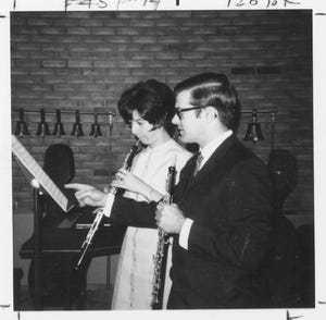
Since it’s Canal Day, I thought it would be appropriate to share some wonderfully old and delightfully primitive maps of our island from long before and just after the canal was built. They were found in the early 1980s in the country home of the then newly deceased Margaret Hornsby, a cherished longtime Freetown resident, oboist and ex-president of the Freetown Chamber Orchestra.
Margaret and Dan Reynolds
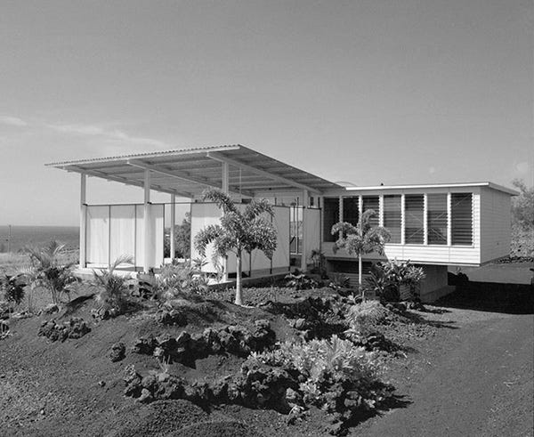
It was so exciting to visit the Hornsby home and sift through all of the fantastic relics that stayed behind when Margaret left this island. At the time, I was in my twenties and had just begun my career. Despite many years passing since, I still remember walking in and feeling my heart jump upon seeing stacks and stack of old newspapers, maps, drawings and photographs.
The Hornsby House
You can see a great deal of the Hornsby collection at the Partagua National History Museum, but we’ve kept a few things hidden from the public so that, on rare occasions, we have the pleasure of revealing them. Today is very excitingly one of those days.
Unsigned and undated maps are often discarded by archivists. This is because, beyond being unsigned and undated, they’re often incorrect. They leave out some of the finer details, represent the overall land structure incorrectly and, on occasion, add in details that can’t be confirmed as ever having existed.
However, the general public often cherish such maps. One famous example of such a map is the 17th century map which depicts a large cantilever bridge connecting the Maui and Lanai islands of Hawaii. At auction, it sold for over ten thousand dollars and is now said to be owned by Ben Roethlisberger, the quarterback for the Pittsburgh Steelers.
Ben Roethlisberger

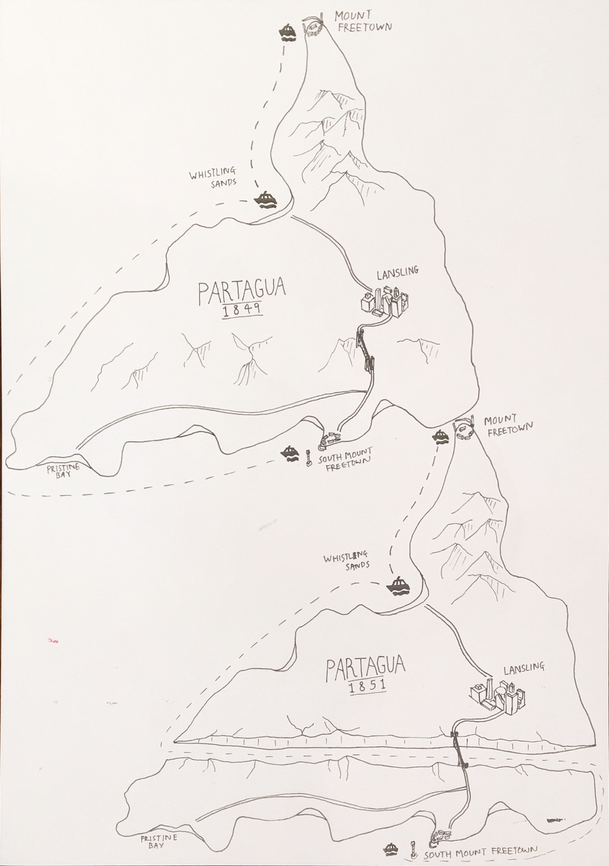
It’s hard to imagine our country without the Partagua canal. Built in 1850 by the Communist Workers Party, it split the island into North and South Partagua so that ships could cut through the island via a 14km waterway. The canal is often cited in textbooks as being one of the least economically sensible decisions ever made in the history of this continent nation, as it cost nearly $200 million Partaguan dollars and only shortened circumnavigation of the island by two hours.
Despite its uselessness, many tourists find the canal charming and anthropologists have found that it increases the cultural diversity and biodiversity of our continent nation. I can’t say I have any problem with that!
The maps I get to reveal today show Partagua pre and post-canal and also add in some interesting detail, much of which is unverified but depicts 17th century Partagua as a bustling continent nation! I spent several hours staring at these maps, wondering who drew them up and wishing I could ask that mystery person out to dinner!
Without further ado, here they are:
Let me know what you think! And enjoy your weekend.
Sincerely,
Marianne, Ralph and the Archivist Department :-)
Looking at the map, the canal does not seem to be particularly well placed. Very fun learning the history of the map and the canal.